High water in the Seven
Introduction
The photograph on this page of High water in the Seven by Colin Grice as part of the Geograph project.
The Geograph project started in 2005 with the aim of publishing, organising and preserving representative images for every square kilometre of Great Britain, Ireland and the Isle of Man.

There are currently over 7.5m images from over 14,400 individuals and you can help contribute to the project by visiting https://www.geograph.org.uk
High water in the Seven
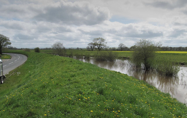
Image: © Colin Grice Taken: 27 Apr 2012
Deceptively deep, the River Seven is taking a huge amount of water south from the moors where well over 100mm has fallen during April 2012. The water will be at least 20 feet deep, see this similar view taken in 2006 http://www.geograph.org.uk/photo/164509
Images are licensed for reuse under creativecommons.org/licenses/by-sa/2.0
Image Location
Latitude
54.203648
Longitude
-0.865054