Moorland stream, Senghenydd
Introduction
The photograph on this page of Moorland stream, Senghenydd by Jaggery as part of the Geograph project.
The Geograph project started in 2005 with the aim of publishing, organising and preserving representative images for every square kilometre of Great Britain, Ireland and the Isle of Man.

There are currently over 7.5m images from over 14,400 individuals and you can help contribute to the project by visiting https://www.geograph.org.uk
Moorland stream, Senghenydd
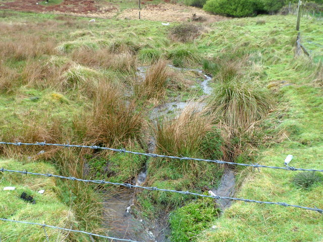
Image: © Jaggery Taken: 27 Apr 2012
During a wet period in late April 2012, water flows vigorously down moorland http://www.geograph.org.uk/photo/2920180 near the northern edge of residential Senghenydd.
Images are licensed for reuse under creativecommons.org/licenses/by-sa/2.0
Image Location
Latitude
51.61443
Longitude
-3.281013