On the Hangers Way near to Buriton
Introduction
The photograph on this page of On the Hangers Way near to Buriton by Peter S as part of the Geograph project.
The Geograph project started in 2005 with the aim of publishing, organising and preserving representative images for every square kilometre of Great Britain, Ireland and the Isle of Man.

There are currently over 7.5m images from over 14,400 individuals and you can help contribute to the project by visiting https://www.geograph.org.uk
On the Hangers Way near to Buriton
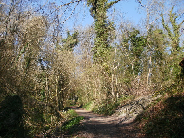
Image: © Peter S Taken: 6 Apr 2012
On the Hangers Way, passing through the Buriton Chalk Pit Nature Reserve.
Images are licensed for reuse under creativecommons.org/licenses/by-sa/2.0
Image Location
Latitude
50.973555
Longitude
-0.953528