Field on Spruisty Hill
Introduction
The photograph on this page of Field on Spruisty Hill by Derek Harper as part of the Geograph project.
The Geograph project started in 2005 with the aim of publishing, organising and preserving representative images for every square kilometre of Great Britain, Ireland and the Isle of Man.

There are currently over 7.5m images from over 14,400 individuals and you can help contribute to the project by visiting https://www.geograph.org.uk
Field on Spruisty Hill
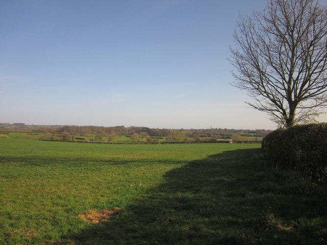
Image: © Derek Harper Taken: 1 Apr 2012
The field shown in Image, from the same spot, looking to the right, towards the Nidd, which flows along this wide of the distant woodland, about 800 metres away. The barn to the right is at the far side of the next field.
Images are licensed for reuse under creativecommons.org/licenses/by-sa/2.0
Image Location


Leaflet Map data © OpenStreetMap
Latitude
54.023478
Longitude
-1.555787