Spruisty Hall Farm
Introduction
The photograph on this page of Spruisty Hall Farm by Derek Harper as part of the Geograph project.
The Geograph project started in 2005 with the aim of publishing, organising and preserving representative images for every square kilometre of Great Britain, Ireland and the Isle of Man.

There are currently over 7.5m images from over 14,400 individuals and you can help contribute to the project by visiting https://www.geograph.org.uk
Spruisty Hall Farm
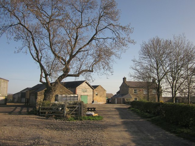
Image: © Derek Harper Taken: 1 Apr 2012
The view shown in September in Image; here it is the start of April. Footpath number 15 65/5/1 runs between the barns on the left.
Images are licensed for reuse under creativecommons.org/licenses/by-sa/2.0
Image Location


Leaflet Map data © OpenStreetMap
Latitude
54.02051
Longitude
-1.555208