Start of the public bridleway to Eymore Wood from Arley Lane, Upper Arley
Introduction
The photograph on this page of Start of the public bridleway to Eymore Wood from Arley Lane, Upper Arley by P L Chadwick as part of the Geograph project.
The Geograph project started in 2005 with the aim of publishing, organising and preserving representative images for every square kilometre of Great Britain, Ireland and the Isle of Man.

There are currently over 7.5m images from over 14,400 individuals and you can help contribute to the project by visiting https://www.geograph.org.uk
Start of the public bridleway to Eymore Wood from Arley Lane, Upper Arley
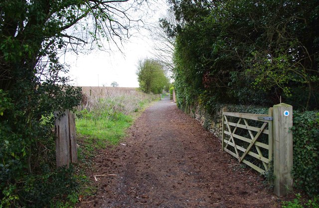
Image: © P L Chadwick Taken: 22 Apr 2012
The bridleway here runs over a private access road. The bridleway also forms part of the Upper Arley Circular Walk.
Images are licensed for reuse under creativecommons.org/licenses/by-sa/2.0
Image Location


Leaflet Map data © OpenStreetMap
Latitude
52.421727
Longitude
-2.341105