Track to Barwinnock
Introduction
The photograph on this page of Track to Barwinnock by Andy Farrington as part of the Geograph project.
The Geograph project started in 2005 with the aim of publishing, organising and preserving representative images for every square kilometre of Great Britain, Ireland and the Isle of Man.

There are currently over 7.5m images from over 14,400 individuals and you can help contribute to the project by visiting https://www.geograph.org.uk
Track to Barwinnock
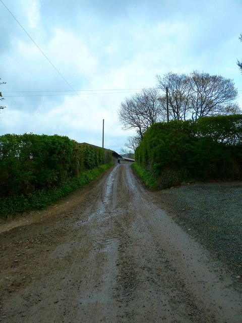
Image: © Andy Farrington Taken: 26 Apr 2012
The track here passes by Blairbuy Farm to the Fell of Barhullion, Dowies and then to Barwinnock effectively linking the A747 coastal road with the B7021 Ringwhirry to Whithorn road.
Images are licensed for reuse under creativecommons.org/licenses/by-sa/2.0
Image Location


Leaflet Map data © OpenStreetMap
Latitude
54.745139
Longitude
-4.544547