Water Trough near Nodding's Farm
Introduction
The photograph on this page of Water Trough near Nodding's Farm by Colin Smith as part of the Geograph project.
The Geograph project started in 2005 with the aim of publishing, organising and preserving representative images for every square kilometre of Great Britain, Ireland and the Isle of Man.

There are currently over 7.5m images from over 14,400 individuals and you can help contribute to the project by visiting https://www.geograph.org.uk
Water Trough near Nodding's Farm
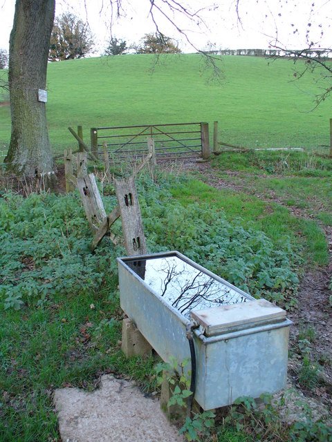
Image: © Colin Smith Taken: 9 Dec 2006
This modern metal trough sits in the stream valley bottom.
Images are licensed for reuse under creativecommons.org/licenses/by-sa/2.0
Image Location
Latitude
51.122535
Longitude
-0.636806