The descending Moneyscalp Road
Introduction
The photograph on this page of The descending Moneyscalp Road by Eric Jones as part of the Geograph project.
The Geograph project started in 2005 with the aim of publishing, organising and preserving representative images for every square kilometre of Great Britain, Ireland and the Isle of Man.

There are currently over 7.5m images from over 14,400 individuals and you can help contribute to the project by visiting https://www.geograph.org.uk
The descending Moneyscalp Road
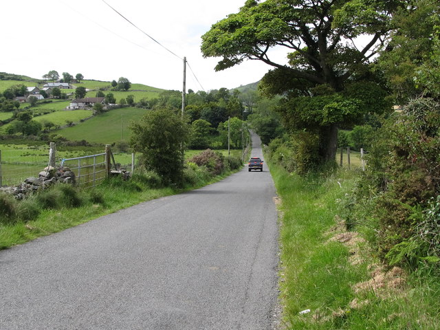
Image: © Eric Jones Taken: 2 Jul 2011
Here, the road which joins the A25 at the eastern end of Lough Island Reavy Reservoir, dips into a valley on its approach to the junction with Drumena Road.
Images are licensed for reuse under creativecommons.org/licenses/by-sa/2.0
Image Location
Latitude
54.237116
Longitude
-5.983892