Sloping footbridge, Llanbradach
Introduction
The photograph on this page of Sloping footbridge, Llanbradach by Jaggery as part of the Geograph project.
The Geograph project started in 2005 with the aim of publishing, organising and preserving representative images for every square kilometre of Great Britain, Ireland and the Isle of Man.

There are currently over 7.5m images from over 14,400 individuals and you can help contribute to the project by visiting https://www.geograph.org.uk
Sloping footbridge, Llanbradach
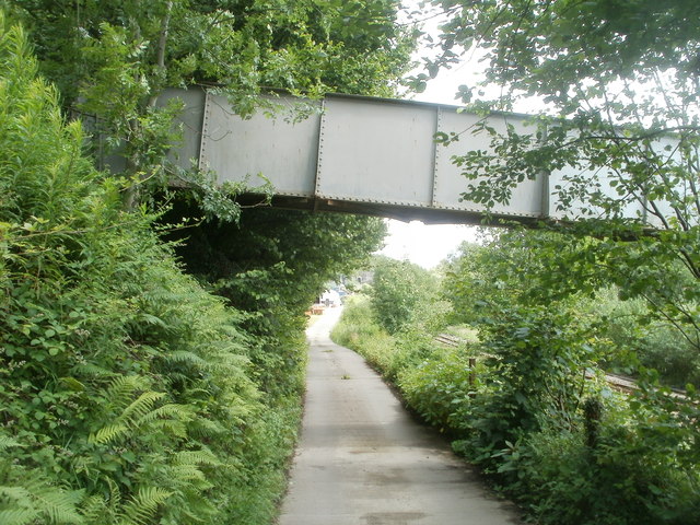
Image: © Jaggery Taken: 22 Jun 2011
Viewed from the entrance road to Fabcraft. The 25 metre long footbridge connects Colliery Road, out of shot on the left, with Pencerrig Street out of shot on the right. In between it passes over the Rhymney Line railway, which can be seen behind the vegetation on the right side of the road.
Images are licensed for reuse under creativecommons.org/licenses/by-sa/2.0
Image Location
Latitude
51.605052
Longitude
-3.233096