New housing on Honey Lane
Introduction
The photograph on this page of New housing on Honey Lane by Bill Nicholls as part of the Geograph project.
The Geograph project started in 2005 with the aim of publishing, organising and preserving representative images for every square kilometre of Great Britain, Ireland and the Isle of Man.

There are currently over 7.5m images from over 14,400 individuals and you can help contribute to the project by visiting https://www.geograph.org.uk
New housing on Honey Lane
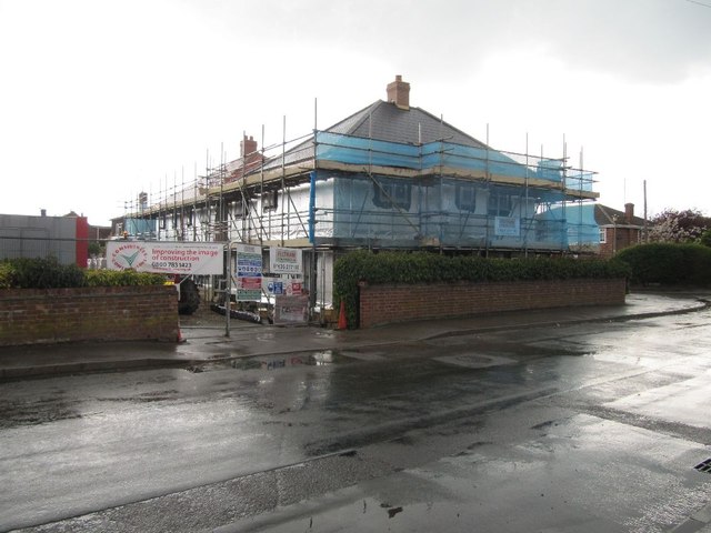
Image: © Bill Nicholls Taken: 20 Apr 2012
The old house which had been converted into flats has been demolished and now these new houses take its place. Image
Images are licensed for reuse under creativecommons.org/licenses/by-sa/2.0
Image Location


Leaflet Map data © OpenStreetMap
Latitude
51.57224
Longitude
-1.15282