The Moors
Introduction
The photograph on this page of The Moors by Ian Capper as part of the Geograph project.
The Geograph project started in 2005 with the aim of publishing, organising and preserving representative images for every square kilometre of Great Britain, Ireland and the Isle of Man.

There are currently over 7.5m images from over 14,400 individuals and you can help contribute to the project by visiting https://www.geograph.org.uk
The Moors
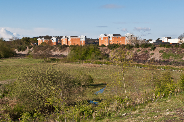
Image: © Ian Capper Taken: 21 Apr 2012
Looking across The Moors to the embankment of the Quarry Line (the section of the London - Brighton railway that bypasses Redhill) with the Park 25 development beyond.
Images are licensed for reuse under creativecommons.org/licenses/by-sa/2.0
Image Location
Latitude
51.246972
Longitude
-0.155113