Petrol depot, Hethersett/Ketteringham
Introduction
The photograph on this page of Petrol depot, Hethersett/Ketteringham by Katy Walters as part of the Geograph project.
The Geograph project started in 2005 with the aim of publishing, organising and preserving representative images for every square kilometre of Great Britain, Ireland and the Isle of Man.

There are currently over 7.5m images from over 14,400 individuals and you can help contribute to the project by visiting https://www.geograph.org.uk
Petrol depot, Hethersett/Ketteringham
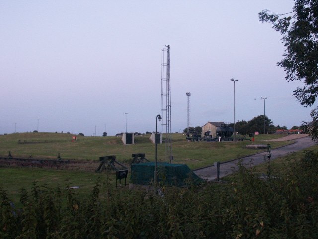
Image: © Katy Walters Taken: 20 Jul 2005
This used to be a WWII Ministry of Defence oil depot, presently used as a petrol depot. The railway spurs were private sidings of the MoD depot, they are now disconnected. Thanks to Evelyn Simak http://www.geograph.org.uk/profile/14840 for this information.
Images are licensed for reuse under creativecommons.org/licenses/by-sa/2.0
Image Location


Leaflet Map data © OpenStreetMap
Latitude
52.590418
Longitude
1.203634