Ormside Way
Introduction
The photograph on this page of Ormside Way by Ian Capper as part of the Geograph project.
The Geograph project started in 2005 with the aim of publishing, organising and preserving representative images for every square kilometre of Great Britain, Ireland and the Isle of Man.

There are currently over 7.5m images from over 14,400 individuals and you can help contribute to the project by visiting https://www.geograph.org.uk
Ormside Way
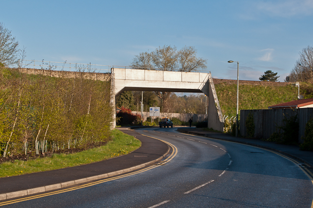
Image: © Ian Capper Taken: 21 Apr 2012
New bridge under the London-Brighton railway completed in 2005 to improve access to the Holmethorpe Industrial Estate and to the then future Watercolour development. Prior to that, access to the Industrial Estate was via a narrow bridge on Trowers Way (see Image) and the residential Frenches Road.
Images are licensed for reuse under creativecommons.org/licenses/by-sa/2.0
Image Location
Latitude
51.253754
Longitude
-0.156906