Nottingham - NG5
Introduction
The photograph on this page of Nottingham - NG5 by David Hallam-Jones as part of the Geograph project.
The Geograph project started in 2005 with the aim of publishing, organising and preserving representative images for every square kilometre of Great Britain, Ireland and the Isle of Man.

There are currently over 7.5m images from over 14,400 individuals and you can help contribute to the project by visiting https://www.geograph.org.uk
Nottingham - NG5
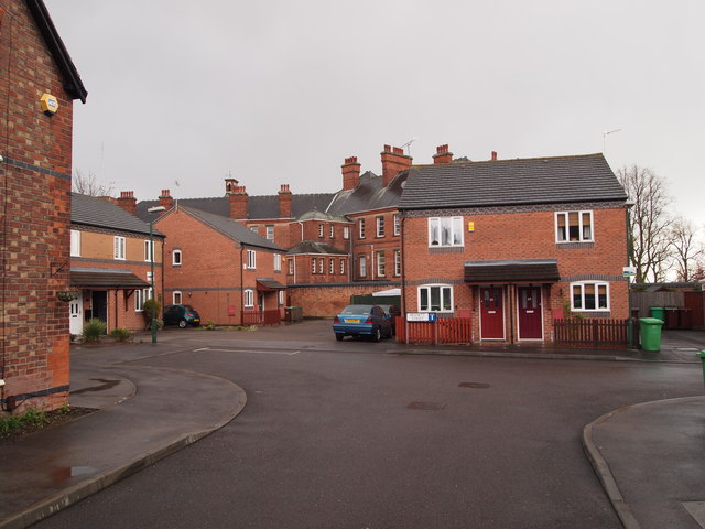
Image: © David Hallam-Jones Taken: 21 Apr 2012
Bennett Street, a cul-de-sac off Woodborough Road (B684), showing a new housing development outside the boundary wall of the former Mapperley mental hospital. The institutional-style hospital building is part of "Duncan Macmillan House", a unit that continues to provide mental health care services. The name Mapperley is thought to be associated with a certain Mr Thomas Mappurley, an M.P. for Nottingham between 1353-56 who owned of an area of land known as "The Mappurley Closes" in 1377. It seems highly likely that the bricks used to build the hospital and its numerous extensions came from the Mapperley Brick Works that once existed immediately opposite the entrance to Bennett Street.
Images are licensed for reuse under creativecommons.org/licenses/by-sa/2.0
Image Location
Latitude
52.980156
Longitude
-1.128081