Footpath, Coombe Brook Valley
Introduction
The photograph on this page of Footpath, Coombe Brook Valley by Derek Harper as part of the Geograph project.
The Geograph project started in 2005 with the aim of publishing, organising and preserving representative images for every square kilometre of Great Britain, Ireland and the Isle of Man.

There are currently over 7.5m images from over 14,400 individuals and you can help contribute to the project by visiting https://www.geograph.org.uk
Footpath, Coombe Brook Valley
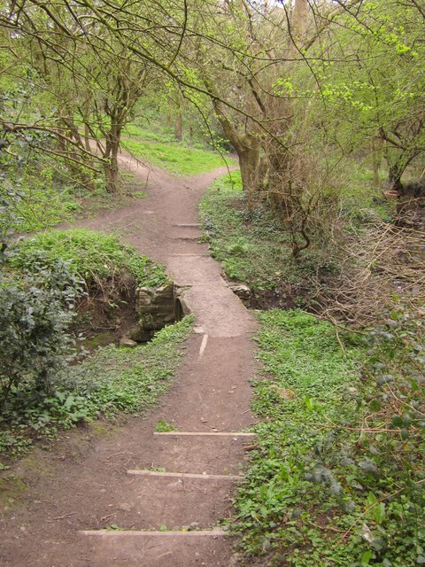
Image: © Derek Harper Taken: 31 Mar 2012
A path connecting Mayfield Park and Holly Close crosses a tributary of the River Frome. Information about the nature park/reserve is at http://www.avonwildlifetrust.org.uk/reserves/coombe_brook.htm .
Images are licensed for reuse under creativecommons.org/licenses/by-sa/2.0
Image Location
Latitude
51.470961
Longitude
-2.530915