#52 Naldertown
Introduction
The photograph on this page of #52 Naldertown by Roger Templeman as part of the Geograph project.
The Geograph project started in 2005 with the aim of publishing, organising and preserving representative images for every square kilometre of Great Britain, Ireland and the Isle of Man.

There are currently over 7.5m images from over 14,400 individuals and you can help contribute to the project by visiting https://www.geograph.org.uk
#52 Naldertown
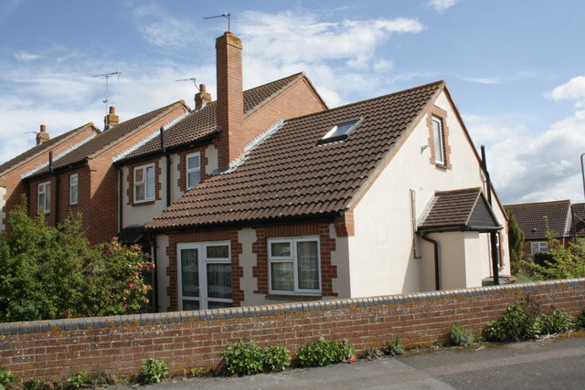
Image: © Roger Templeman Taken: 20 Apr 2012
The house once had an OS benchmark on its NE corner but the mark appears to have been lost to rendering.
Images are licensed for reuse under creativecommons.org/licenses/by-sa/2.0
Image Location
Latitude
51.59014
Longitude
-1.438875