Kensington Park, Bangor
Introduction
The photograph on this page of Kensington Park, Bangor by Rossographer as part of the Geograph project.
The Geograph project started in 2005 with the aim of publishing, organising and preserving representative images for every square kilometre of Great Britain, Ireland and the Isle of Man.

There are currently over 7.5m images from over 14,400 individuals and you can help contribute to the project by visiting https://www.geograph.org.uk
Kensington Park, Bangor
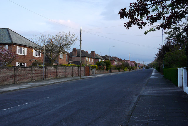
Image: © Rossographer Taken: 20 Apr 2012
Street of detached houses running between Downshire Road and Maxwell Road in Bangor. Laid out on the site of former clay pits c1930, the street was originally named 'Westward Ho!' but the current name was quickly adopted by 1935.
Images are licensed for reuse under creativecommons.org/licenses/by-sa/2.0
Image Location
Latitude
54.664988
Longitude
-5.6873