The Shore Circular Path
Introduction
The photograph on this page of The Shore Circular Path by Lairich Rig as part of the Geograph project.
The Geograph project started in 2005 with the aim of publishing, organising and preserving representative images for every square kilometre of Great Britain, Ireland and the Isle of Man.

There are currently over 7.5m images from over 14,400 individuals and you can help contribute to the project by visiting https://www.geograph.org.uk
The Shore Circular Path
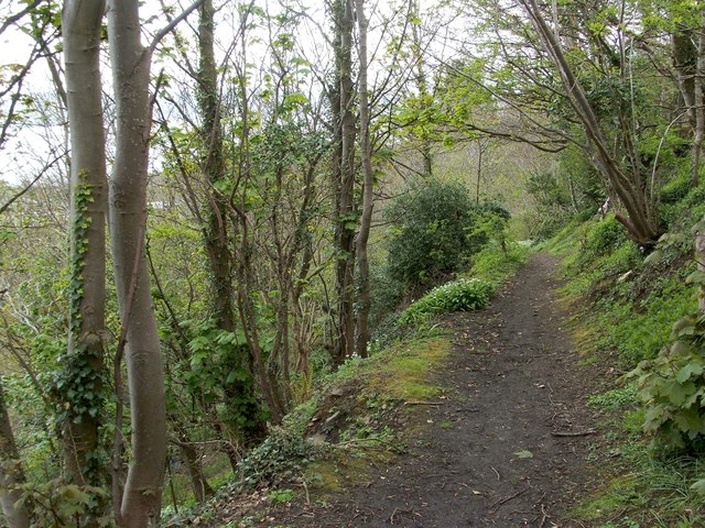
Image: © Lairich Rig Taken: 20 Apr 2012
The path leads from the shore, passing a sewage works on the way (Image); it then zigzags up this slope to meet Cardross Road. See also Image, the same section of path viewed in the opposite direction. See Image for a later picture from about the same place.
Images are licensed for reuse under creativecommons.org/licenses/by-sa/2.0
Image Location
Latitude
55.947752
Longitude
-4.604475