A glimpse of the construction of Port Talbot Peripheral Distributor Road (A4241)
Introduction
The photograph on this page of A glimpse of the construction of Port Talbot Peripheral Distributor Road (A4241) by Jaggery as part of the Geograph project.
The Geograph project started in 2005 with the aim of publishing, organising and preserving representative images for every square kilometre of Great Britain, Ireland and the Isle of Man.

There are currently over 7.5m images from over 14,400 individuals and you can help contribute to the project by visiting https://www.geograph.org.uk
A glimpse of the construction of Port Talbot Peripheral Distributor Road (A4241)
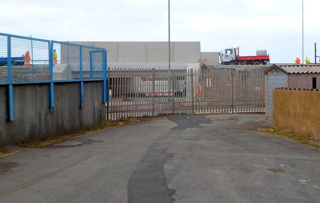
Image: © Jaggery Taken: 19 Apr 2012
Viewed from near Lower West End http://www.geograph.org.uk/photo/2915891 in April 2012. The A4241 will provide access to land that is available for development. It will also reduce the volume of local traffic using the M4 which is approaching capacity in the Port Talbot area. The road is scheduled to open in September 2013.
Images are licensed for reuse under creativecommons.org/licenses/by-sa/2.0
Image Location
Latitude
51.584592
Longitude
-3.776705