Wellingtonia and wellingtonia, Varndean Drive
Introduction
The photograph on this page of Wellingtonia and wellingtonia, Varndean Drive by Brian Dungate as part of the Geograph project.
The Geograph project started in 2005 with the aim of publishing, organising and preserving representative images for every square kilometre of Great Britain, Ireland and the Isle of Man.

There are currently over 7.5m images from over 14,400 individuals and you can help contribute to the project by visiting https://www.geograph.org.uk
Wellingtonia and wellingtonia, Varndean Drive
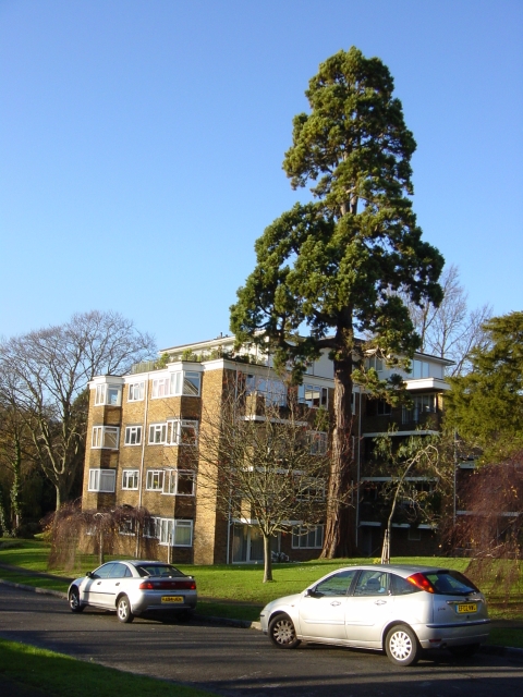
Image: © Brian Dungate Taken: 9 Dec 2006
The block of flats takes its name from the majestic tree.
Images are licensed for reuse under creativecommons.org/licenses/by-sa/2.0
Image Location
Latitude
50.849676
Longitude
-0.151824