Rivacre Valley
Introduction
The photograph on this page of Rivacre Valley by Sue Adair as part of the Geograph project.
The Geograph project started in 2005 with the aim of publishing, organising and preserving representative images for every square kilometre of Great Britain, Ireland and the Isle of Man.

There are currently over 7.5m images from over 14,400 individuals and you can help contribute to the project by visiting https://www.geograph.org.uk
Rivacre Valley
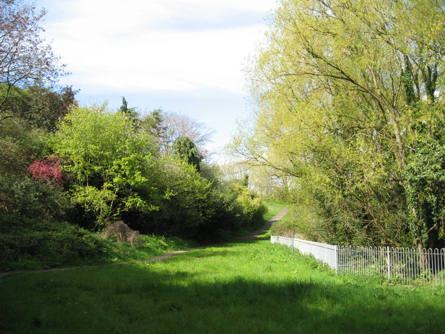
Image: © Sue Adair Taken: 24 Apr 2012
This footpath alongside Rivacre Brook continues northwards and opens out into Rivacre Valley Country Park set in over 400 acres of beautiful natural woodlands.
Images are licensed for reuse under creativecommons.org/licenses/by-sa/2.0
Image Location
Latitude
53.281998
Longitude
-2.933016