Winyates Green, Redditch
Introduction
The photograph on this page of Winyates Green, Redditch by David Stowell as part of the Geograph project.
The Geograph project started in 2005 with the aim of publishing, organising and preserving representative images for every square kilometre of Great Britain, Ireland and the Isle of Man.

There are currently over 7.5m images from over 14,400 individuals and you can help contribute to the project by visiting https://www.geograph.org.uk
Winyates Green, Redditch
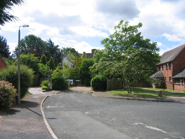
Image: © David Stowell Taken: 20 Jul 2005
Although most of this square is modern housing as part of the 1970s new town development, this close near Lower House Farm still shows signs of the original farm buildings in the area.
Images are licensed for reuse under creativecommons.org/licenses/by-sa/2.0
Image Location


Leaflet Map data © OpenStreetMap
Latitude
52.305555
Longitude
-1.878226