Smestow Brook
Introduction
The photograph on this page of Smestow Brook by John M as part of the Geograph project.
The Geograph project started in 2005 with the aim of publishing, organising and preserving representative images for every square kilometre of Great Britain, Ireland and the Isle of Man.

There are currently over 7.5m images from over 14,400 individuals and you can help contribute to the project by visiting https://www.geograph.org.uk
Smestow Brook
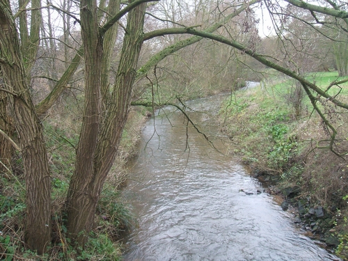
Image: © John M Taken: 9 Dec 2006
The Smestow Brook at Smestow below its confluence with the Wom Brook. Water levels are high following recent wet weather.
Images are licensed for reuse under creativecommons.org/licenses/by-sa/2.0
Image Location


Leaflet Map data © OpenStreetMap
Latitude
52.523882
Longitude
-2.213669