Taunton Avenue, Sutton Leach, St.Helens
Introduction
The photograph on this page of Taunton Avenue, Sutton Leach, St.Helens by Alan Pennington as part of the Geograph project.
The Geograph project started in 2005 with the aim of publishing, organising and preserving representative images for every square kilometre of Great Britain, Ireland and the Isle of Man.

There are currently over 7.5m images from over 14,400 individuals and you can help contribute to the project by visiting https://www.geograph.org.uk
Taunton Avenue, Sutton Leach, St.Helens
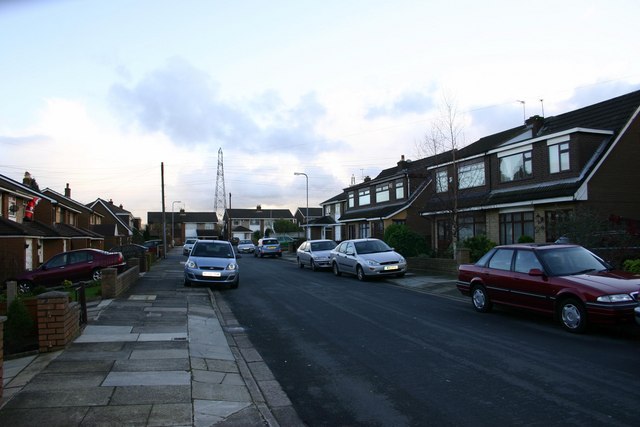
Image: © Alan Pennington Taken: 9 Dec 2006
A view of Taunton Avenue looking South East towards Bold & Widnes. Out of the picture and ahead some 5 miles away, the Fiddlers Ferry Power Station and the mudflats of the River Mersey. To the left a little, and some 6 miles Warrington, far right some 12 miles Liverpool, and far left 25 miles the city of Manchester. This area is on both flight lines for Liverpool & Manchester airports, planes fly reasonably low over this neck of the woods, but to be honest they don't cause any noise problems as they are normally on a glide path to land rather than take off.
Images are licensed for reuse under creativecommons.org/licenses/by-sa/2.0
Image Location


Leaflet Map data © OpenStreetMap
Latitude
53.423571
Longitude
-2.71174