Taunton Avenue, Sutton Leach, St.Helens
Introduction
The photograph on this page of Taunton Avenue, Sutton Leach, St.Helens by Alan Pennington as part of the Geograph project.
The Geograph project started in 2005 with the aim of publishing, organising and preserving representative images for every square kilometre of Great Britain, Ireland and the Isle of Man.

There are currently over 7.5m images from over 14,400 individuals and you can help contribute to the project by visiting https://www.geograph.org.uk
Taunton Avenue, Sutton Leach, St.Helens
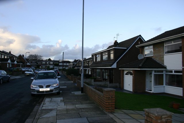
Image: © Alan Pennington Taken: 9 Dec 2006
A view of Taunton Avenue looking North West. Running at the bottom of this road and across the photo is Axbridge Avenue, which leads on to a dead end. Over and behind the houses running parallel in this photo is Leach Lane, Sutton Dam, the Wheatsheaf and Mill House pubs and to the right of the photo and behind the houses are the playing fields of Sidac Sports & Social Club, then farmers fields as far as Burtonwood and the M62 Motorway junction close to Ikea & Marks and Spencer megastores.
Images are licensed for reuse under creativecommons.org/licenses/by-sa/2.0
Image Location


Leaflet Map data © OpenStreetMap
Latitude
53.423571
Longitude
-2.71174