The Ballymoney Road, Ballydavey near Bangor (1)
Introduction
The photograph on this page of The Ballymoney Road, Ballydavey near Bangor (1) by Albert Bridge as part of the Geograph project.
The Geograph project started in 2005 with the aim of publishing, organising and preserving representative images for every square kilometre of Great Britain, Ireland and the Isle of Man.

There are currently over 7.5m images from over 14,400 individuals and you can help contribute to the project by visiting https://www.geograph.org.uk
The Ballymoney Road, Ballydavey near Bangor (1)
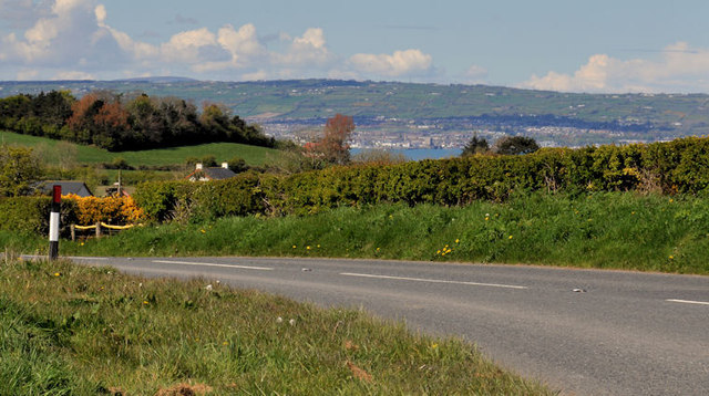
Image: © Albert Bridge Taken: 24 Apr 2012
Much of the road, in this square, consists of a series of bends as it makes a gentle ascent towards Craigantlet. In this view, on the Bangor side of the Ballydavey Cottages, there is a distant view over Belfast Lough.
Images are licensed for reuse under creativecommons.org/licenses/by-sa/2.0
Image Location
Latitude
54.648733
Longitude
-5.764303