Lower Haysden Lane by Great Hayesden Farm
Introduction
The photograph on this page of Lower Haysden Lane by Great Hayesden Farm by Marathon as part of the Geograph project.
The Geograph project started in 2005 with the aim of publishing, organising and preserving representative images for every square kilometre of Great Britain, Ireland and the Isle of Man.

There are currently over 7.5m images from over 14,400 individuals and you can help contribute to the project by visiting https://www.geograph.org.uk
Lower Haysden Lane by Great Hayesden Farm
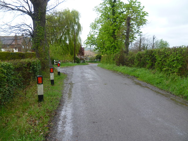
Image: © Marathon Taken: 23 Apr 2012
This was a thoroughly wet and miserable day, but the rain does give a certain atmosphere. This is Lower Haysden Lane leading to Lower Haysden, Haysden Country Park and Tonbridge. Great Hayesden Farm is on the left.
Images are licensed for reuse under creativecommons.org/licenses/by-sa/2.0
Image Location


Leaflet Map data © OpenStreetMap
Latitude
51.182399
Longitude
0.235916