The A64 Near Bilbrough
Introduction
The photograph on this page of The A64 Near Bilbrough by Mary and Angus Hogg as part of the Geograph project.
The Geograph project started in 2005 with the aim of publishing, organising and preserving representative images for every square kilometre of Great Britain, Ireland and the Isle of Man.

There are currently over 7.5m images from over 14,400 individuals and you can help contribute to the project by visiting https://www.geograph.org.uk
The A64 Near Bilbrough
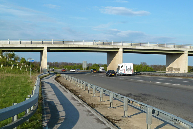
Image: © Mary and Angus Hogg Taken: 20 Apr 2012
Looking along the A64 towards York. The bridge lies in the next square.
Images are licensed for reuse under creativecommons.org/licenses/by-sa/2.0
Image Location
Latitude
53.906944
Longitude
-1.185466