Redundant farm building by Baty's Spinney
Introduction
The photograph on this page of Redundant farm building by Baty's Spinney by Michael Trolove as part of the Geograph project.
The Geograph project started in 2005 with the aim of publishing, organising and preserving representative images for every square kilometre of Great Britain, Ireland and the Isle of Man.

There are currently over 7.5m images from over 14,400 individuals and you can help contribute to the project by visiting https://www.geograph.org.uk
Redundant farm building by Baty's Spinney
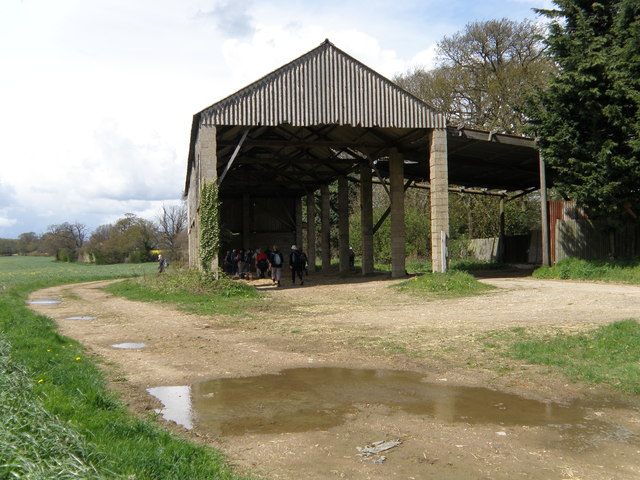
Image: © Michael Trolove Taken: 22 Apr 2012
Lunch stop for the Beds, Bucks and Northants Long Distance Walkers Association.
Images are licensed for reuse under creativecommons.org/licenses/by-sa/2.0
Image Location
Latitude
51.860897
Longitude
-0.281752