
Summit of North Berwick Law
Introduction
The photograph on this page of Summit of North Berwick Law by Kevin Rae as part of the Geograph project.
The Geograph project started in 2005 with the aim of publishing, organising and preserving representative images for every square kilometre of Great Britain, Ireland and the Isle of Man.

There are currently over 7.5m images from over 14,400 individuals and you can help contribute to the project by visiting https://www.geograph.org.uk
Summit of North Berwick Law
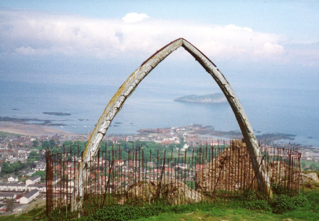
Image: © Kevin Rae Taken: Unknown
These Jawbones were for many years a prominent feature of the summit but I believe they have recently fallen over and are awaiting being put back in place. The summit also has buildings dating from the second world war when the hill was a lookout for boats on the Firth of Forth and also the remains of an old fort. The view is north over the town of North Berwick to the island of Craigleith.
Images are licensed for reuse under creativecommons.org/licenses/by-sa/2.0
Image Location

Latitude
56.051281
Longitude
-2.716023