Egerton Bridge (2)
Introduction
The photograph on this page of Egerton Bridge (2) by Peter Craine as part of the Geograph project.
The Geograph project started in 2005 with the aim of publishing, organising and preserving representative images for every square kilometre of Great Britain, Ireland and the Isle of Man.

There are currently over 7.5m images from over 14,400 individuals and you can help contribute to the project by visiting https://www.geograph.org.uk
Egerton Bridge (2)
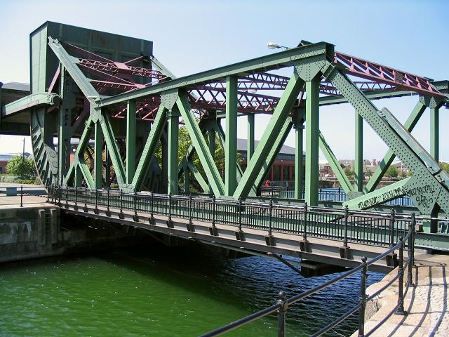
Image: © Peter Craine Taken: 22 May 2004
This is an example of a bascule bridge. When it is raised, it is counterbalanced by the large weight shown on the left hand side. In this particular example, the weight is evenly distributed by the rolling action of the bridge (see bottom left hand side). Visit http://www.wirral.gov.uk/ed/Egerton.htm for access details.
Images are licensed for reuse under creativecommons.org/licenses/by-sa/2.0
Image Location
Latitude
53.398866
Longitude
-3.019644