Nailsea: by Jacklands Bridge
Introduction
The photograph on this page of Nailsea: by Jacklands Bridge by Martin Bodman as part of the Geograph project.
The Geograph project started in 2005 with the aim of publishing, organising and preserving representative images for every square kilometre of Great Britain, Ireland and the Isle of Man.

There are currently over 7.5m images from over 14,400 individuals and you can help contribute to the project by visiting https://www.geograph.org.uk
Nailsea: by Jacklands Bridge
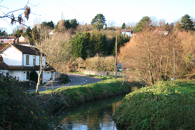
Image: © Martin Bodman Taken: 8 Dec 2006
Here the Land Yeo, which has run in an embanked man-made channel on the south side of its valley most of the way from Wraxall Mill crosses over to run in a further man-made course on the north side of the valley or moorland. At Tickenham it powered a watermill which is probably of medieval origin; the watercourse may therefore be medieval too. The road connects Nailsea to Clevedon and the M5 Motorway, going south. Looking north west
Images are licensed for reuse under creativecommons.org/licenses/by-sa/2.0
Image Location
Latitude
51.440819
Longitude
-2.762639