Nottingham - NG1
Introduction
The photograph on this page of Nottingham - NG1 by David Hallam-Jones as part of the Geograph project.
The Geograph project started in 2005 with the aim of publishing, organising and preserving representative images for every square kilometre of Great Britain, Ireland and the Isle of Man.

There are currently over 7.5m images from over 14,400 individuals and you can help contribute to the project by visiting https://www.geograph.org.uk
Nottingham - NG1
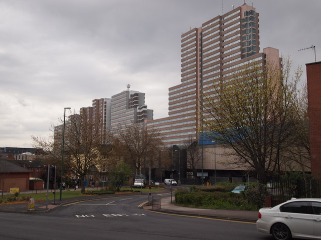
Image: © David Hallam-Jones Taken: 21 Apr 2012
The dwarfed cream-coloured "New Foresters" pub now sits at the side of the pedestrianised St Ann's Street. In the foreground a semi-circular branch of the A60 sweeps out to rejoin Huntingdon Street again as part of a one-way traffic system. Overshadowing these two "green" islands a handful of specimens of post-modern architecture loom in the background.
Images are licensed for reuse under creativecommons.org/licenses/by-sa/2.0
Image Location
Latitude
52.958627
Longitude
-1.146824