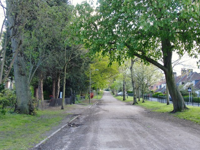
Putney Park Lane
Introduction
The photograph on this page of Putney Park Lane by Stefan Czapski as part of the Geograph project.
The Geograph project started in 2005 with the aim of publishing, organising and preserving representative images for every square kilometre of Great Britain, Ireland and the Isle of Man.
There are currently over 7.5m images from over 14,400 individuals and you can help contribute to the project by visiting https://www.geograph.org.uk

Image: © Stefan Czapski Taken: 21 Apr 2012
Whether or not Putney Park Lane has medieval origins http://www.geograph.org.uk/photo/1455433, it certainly represents a relic of a former landscape. It has outlived the grand houses which it once served (as shown on Rocque's map of circa 1740) and survived as an unmetalled road in a residential suburb. The view here is south, uphill towards Putney Heath, from a point close to St Margaret's church.

