Chilson Common
Introduction
The photograph on this page of Chilson Common by Derek Harper as part of the Geograph project.
The Geograph project started in 2005 with the aim of publishing, organising and preserving representative images for every square kilometre of Great Britain, Ireland and the Isle of Man.

There are currently over 7.5m images from over 14,400 individuals and you can help contribute to the project by visiting https://www.geograph.org.uk
Chilson Common
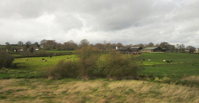
Image: © Derek Harper Taken: 17 Apr 2012
Taken from a passing train on the railway line between Crewkerne and Axminster. Farms at Chilson Common are in the background. The trees in the foreground are by a branch of the River Axe.
Images are licensed for reuse under creativecommons.org/licenses/by-sa/2.0
Image Location
Latitude
50.836181
Longitude
-2.947152