Farmland at Flatterton
Introduction
The photograph on this page of Farmland at Flatterton by Thomas Nugent as part of the Geograph project.
The Geograph project started in 2005 with the aim of publishing, organising and preserving representative images for every square kilometre of Great Britain, Ireland and the Isle of Man.

There are currently over 7.5m images from over 14,400 individuals and you can help contribute to the project by visiting https://www.geograph.org.uk
Farmland at Flatterton
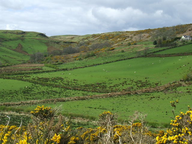
Image: © Thomas Nugent Taken: 13 Apr 2012
Banks Farm is to the right. Viewed from the top of Drumillan Hill.
Images are licensed for reuse under creativecommons.org/licenses/by-sa/2.0
Image Location


Leaflet Map data © OpenStreetMap
Latitude
55.934781
Longitude
-4.837557