Nottingham - NG5
Introduction
The photograph on this page of Nottingham - NG5 by David Hallam-Jones as part of the Geograph project.
The Geograph project started in 2005 with the aim of publishing, organising and preserving representative images for every square kilometre of Great Britain, Ireland and the Isle of Man.

There are currently over 7.5m images from over 14,400 individuals and you can help contribute to the project by visiting https://www.geograph.org.uk
Nottingham - NG5
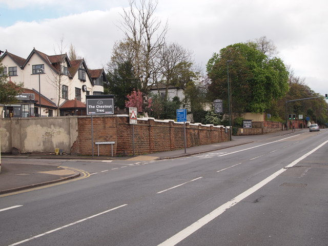
Image: © David Hallam-Jones Taken: 22 Apr 2012
A view along a section of Mansfield Road, Sherwood looking in the city centre direction. This A60 road passes the newly redecorated "Chestnut Tree" pub (April 2012) here. The only chestnut tree growing in the vicinity nowadays is in the grounds of the adjacent dental practice. Beyond the traffic lights is a left-hand turning into Private Road.
Images are licensed for reuse under creativecommons.org/licenses/by-sa/2.0
Image Location
Latitude
52.978593
Longitude
-1.148069