Oil-seed rape field, and A466 bridge, near Chepstow
Introduction
The photograph on this page of Oil-seed rape field, and A466 bridge, near Chepstow by Ruth Sharville as part of the Geograph project.
The Geograph project started in 2005 with the aim of publishing, organising and preserving representative images for every square kilometre of Great Britain, Ireland and the Isle of Man.

There are currently over 7.5m images from over 14,400 individuals and you can help contribute to the project by visiting https://www.geograph.org.uk
Oil-seed rape field, and A466 bridge, near Chepstow
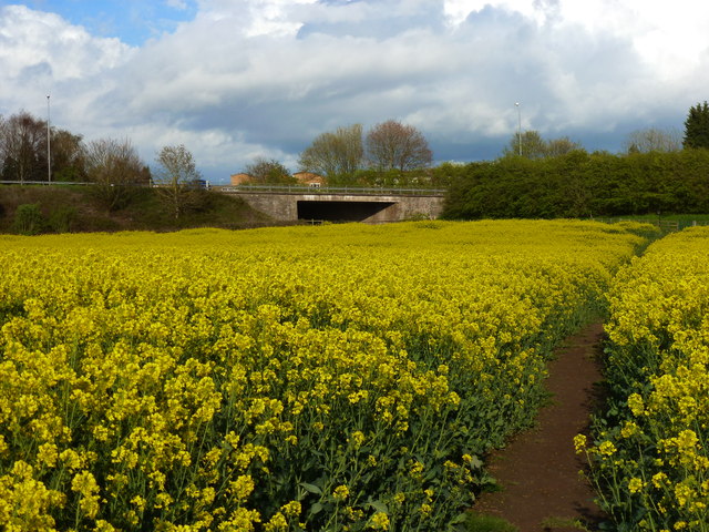
Image: © Ruth Sharville Taken: 22 Apr 2012
The bridge takes the Link Road from the M48 to the A48 to Chepstow over Mathern Road.
Images are licensed for reuse under creativecommons.org/licenses/by-sa/2.0
Image Location
Latitude
51.629689
Longitude
-2.682008