Townwell Fold
Introduction
The photograph on this page of Townwell Fold by John M as part of the Geograph project.
The Geograph project started in 2005 with the aim of publishing, organising and preserving representative images for every square kilometre of Great Britain, Ireland and the Isle of Man.

There are currently over 7.5m images from over 14,400 individuals and you can help contribute to the project by visiting https://www.geograph.org.uk
Townwell Fold
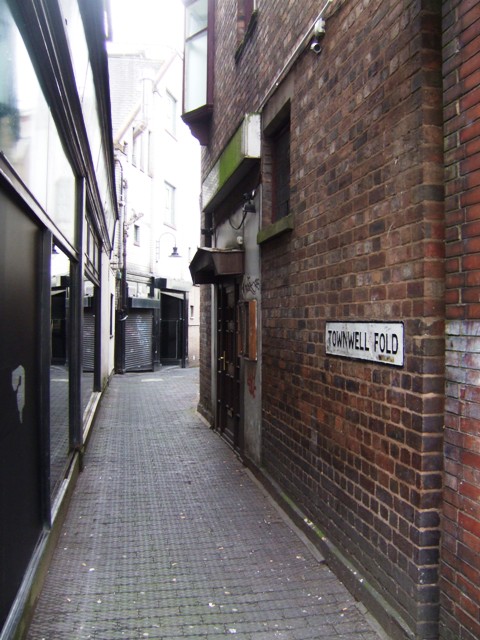
Image: © John M Taken: 22 Apr 2012
The 'folds' or sheepfolds of Wolverhampton are a link to its history as a market town for the wool trade.
Images are licensed for reuse under creativecommons.org/licenses/by-sa/2.0
Image Location
Latitude
52.585224
Longitude
-2.130872