Path on a former railway embankment
Introduction
The photograph on this page of Path on a former railway embankment by John Sutton as part of the Geograph project.
The Geograph project started in 2005 with the aim of publishing, organising and preserving representative images for every square kilometre of Great Britain, Ireland and the Isle of Man.

There are currently over 7.5m images from over 14,400 individuals and you can help contribute to the project by visiting https://www.geograph.org.uk
Path on a former railway embankment
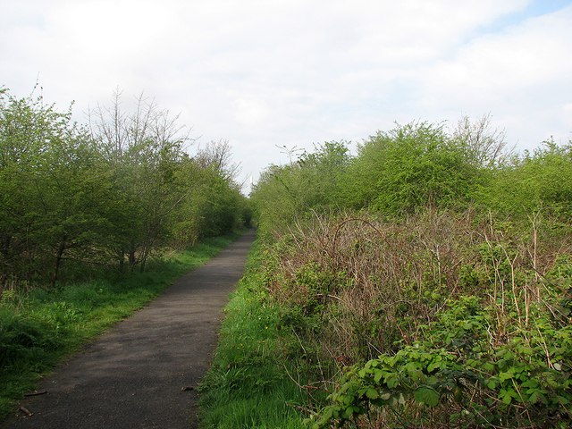
Image: © John Sutton Taken: 20 Apr 2012
After the closure of Nottingham Victoria Station in 1966 the parts of the Great Northern Railway Grantham line through Sneinton to Netherfield were abandoned. Since then, Grantham trains have used the Midland route as far as Netherfield, where the Lincoln and Grantham lines part. The GNR trackbed is now a footpath from through Sneinton from Manvers Street to Daleside Road East. This is a view towards Nottingham, with the incinerator chimney just visible in the distance above the path.
Images are licensed for reuse under creativecommons.org/licenses/by-sa/2.0
Image Location
Latitude
52.9489
Longitude
-1.11963