Ford over the beck at Treasonfield
Introduction
The photograph on this page of Ford over the beck at Treasonfield by Karl and Ali as part of the Geograph project.
The Geograph project started in 2005 with the aim of publishing, organising and preserving representative images for every square kilometre of Great Britain, Ireland and the Isle of Man.

There are currently over 7.5m images from over 14,400 individuals and you can help contribute to the project by visiting https://www.geograph.org.uk
Ford over the beck at Treasonfield
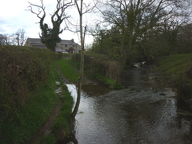
Image: © Karl and Ali Taken: 21 Apr 2012
The public bridleway appears to end at Treasonfield just ahead but the metalled track beyond seems to be accessible to the public (there is a bridleway sign at the junction with the road).
Images are licensed for reuse under creativecommons.org/licenses/by-sa/2.0
Image Location
Latitude
54.243229
Longitude
-2.589208