Disused gravel pit.
Introduction
The photograph on this page of Disused gravel pit. by Alan Hunt as part of the Geograph project.
The Geograph project started in 2005 with the aim of publishing, organising and preserving representative images for every square kilometre of Great Britain, Ireland and the Isle of Man.

There are currently over 7.5m images from over 14,400 individuals and you can help contribute to the project by visiting https://www.geograph.org.uk
Disused gravel pit.
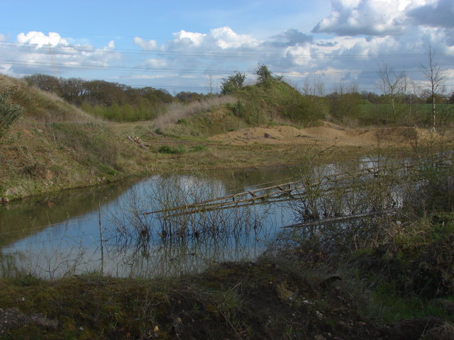
Image: © Alan Hunt Taken: 21 Apr 2012
Part of the disused gravel pits that occupied a large area of the River Wey flood plain to the east of New Haw.
Images are licensed for reuse under creativecommons.org/licenses/by-sa/2.0
Image Location
Latitude
51.356657
Longitude
-0.480071