Lane and wall at the top of the hill, Palterton
Introduction
The photograph on this page of Lane and wall at the top of the hill, Palterton by Andrew Hill as part of the Geograph project.
The Geograph project started in 2005 with the aim of publishing, organising and preserving representative images for every square kilometre of Great Britain, Ireland and the Isle of Man.

There are currently over 7.5m images from over 14,400 individuals and you can help contribute to the project by visiting https://www.geograph.org.uk
Lane and wall at the top of the hill, Palterton
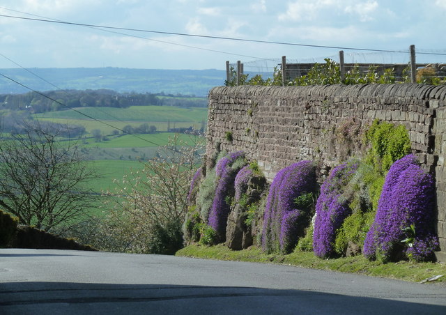
Image: © Andrew Hill Taken: 21 Apr 2012
Palterton is on the edge of the plateau. This high wall is a feature at the lane junction at the top of Rylah Hill. Aubrieta in flower along the wall.
Images are licensed for reuse under creativecommons.org/licenses/by-sa/2.0
Image Location
Latitude
53.208758
Longitude
-1.291297