Wester Alemoor Farm
Introduction
The photograph on this page of Wester Alemoor Farm by John Baker as part of the Geograph project.
The Geograph project started in 2005 with the aim of publishing, organising and preserving representative images for every square kilometre of Great Britain, Ireland and the Isle of Man.

There are currently over 7.5m images from over 14,400 individuals and you can help contribute to the project by visiting https://www.geograph.org.uk
Wester Alemoor Farm
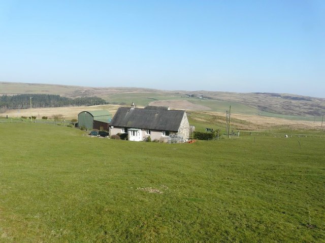
Image: © John Baker Taken: 26 Mar 2012
Seen from the B711 with Easter Alemoor farm visible in the far distance (just to the right of the house).
Images are licensed for reuse under creativecommons.org/licenses/by-sa/2.0
Image Location
Latitude
55.425723
Longitude
-2.941506