Fore Street, Topsham
Introduction
The photograph on this page of Fore Street, Topsham by mike smith as part of the Geograph project.
The Geograph project started in 2005 with the aim of publishing, organising and preserving representative images for every square kilometre of Great Britain, Ireland and the Isle of Man.

There are currently over 7.5m images from over 14,400 individuals and you can help contribute to the project by visiting https://www.geograph.org.uk
Fore Street, Topsham
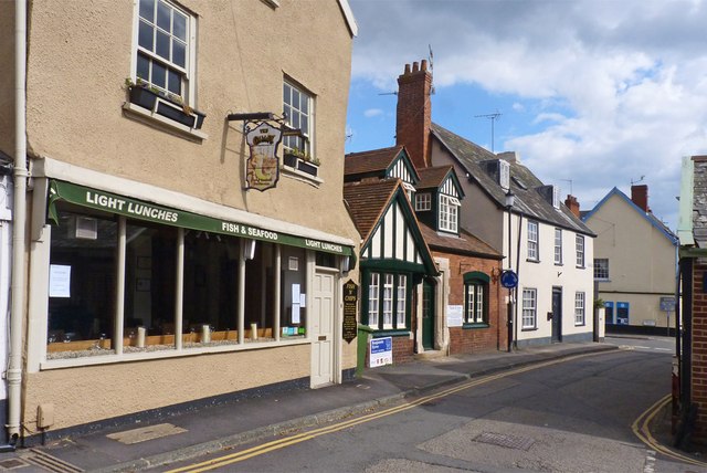
Image: © mike smith Taken: 15 Apr 2012
This is near the junction (at the end) with Holman Way. The restaurant in the foreground is called The Galley, keeping up the nautical theme of the town.
Images are licensed for reuse under creativecommons.org/licenses/by-sa/2.0
Image Location


Leaflet Map data © OpenStreetMap
Latitude
50.681544
Longitude
-3.464645