2012 : Not the viaduct
Introduction
The photograph on this page of 2012 : Not the viaduct by Maurice Pullin as part of the Geograph project.
The Geograph project started in 2005 with the aim of publishing, organising and preserving representative images for every square kilometre of Great Britain, Ireland and the Isle of Man.

There are currently over 7.5m images from over 14,400 individuals and you can help contribute to the project by visiting https://www.geograph.org.uk
2012 : Not the viaduct
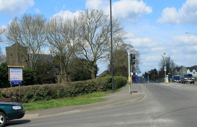
Image: © Maurice Pullin Taken: 2 Apr 2012
See Image] it is in fact the A432 Badminton Road passing St.Saviours Church as it goes on its way to Yate and Chipping Sodbury. Hidden among the trees but it has a lively website (shared) http://coalpitheath.org.uk
Images are licensed for reuse under creativecommons.org/licenses/by-sa/2.0
Image Location
Latitude
51.524536
Longitude
-2.471287