South Wonston - Former Airfield Hangar
Introduction
The photograph on this page of South Wonston - Former Airfield Hangar by Chris Talbot as part of the Geograph project.
The Geograph project started in 2005 with the aim of publishing, organising and preserving representative images for every square kilometre of Great Britain, Ireland and the Isle of Man.

There are currently over 7.5m images from over 14,400 individuals and you can help contribute to the project by visiting https://www.geograph.org.uk
South Wonston - Former Airfield Hangar
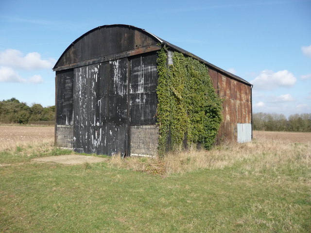
Image: © Chris Talbot Taken: 21 Mar 2011
This hangar is one of the few remaining buildings that were associated with Worthy Down Airfield.
Images are licensed for reuse under creativecommons.org/licenses/by-sa/2.0
Image Location
Latitude
51.117515
Longitude
-1.332749