Nottingham - NG1
Introduction
The photograph on this page of Nottingham - NG1 by David Hallam-Jones as part of the Geograph project.
The Geograph project started in 2005 with the aim of publishing, organising and preserving representative images for every square kilometre of Great Britain, Ireland and the Isle of Man.

There are currently over 7.5m images from over 14,400 individuals and you can help contribute to the project by visiting https://www.geograph.org.uk
Nottingham - NG1
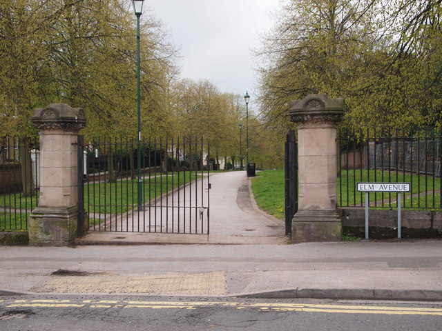
Image: © David Hallam-Jones Taken: 20 Apr 2012
Looking towards Huntington St, NG1. This is the Elm Avenue/Huntingdon Street section of a longer footpath that runs between the A60 - near to where it enters the city (Huntingdon St) - to Woodborough Road (the B684). Elm Avenue cuts the footpath in half at this point. Together with several other sections this much longer footpath encircles the Bellevue covered-reservoir at its midpoint. Thus, from a hot air balloon an observer would probably notice a rosette-shaped tract of land with the grass-covered reservoir forming the circular part of the rosette with two prominent grass-edged footpaths forming the rosette ribbons.
Images are licensed for reuse under creativecommons.org/licenses/by-sa/2.0
Image Location
Latitude
52.964758
Longitude
-1.149235