The final run down Stoney Dale to The Churnet Valley
Introduction
The photograph on this page of The final run down Stoney Dale to The Churnet Valley by Mick Malpass as part of the Geograph project.
The Geograph project started in 2005 with the aim of publishing, organising and preserving representative images for every square kilometre of Great Britain, Ireland and the Isle of Man.

There are currently over 7.5m images from over 14,400 individuals and you can help contribute to the project by visiting https://www.geograph.org.uk
The final run down Stoney Dale to The Churnet Valley
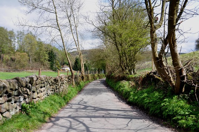
Image: © Mick Malpass Taken: 14 Apr 2012
The journey from Threapwood to the Churnet Valley, along Chapel Lane and Stoney Dale, is one of the most interesting narrow lanes that I have ever been along.
Images are licensed for reuse under creativecommons.org/licenses/by-sa/2.0
Image Location


Leaflet Map data © OpenStreetMap
Latitude
52.995014
Longitude
-1.92487